Welcome to my website!
On this site you will find two interactive showcase projects presenting different Machine Learning
models and capabilities.
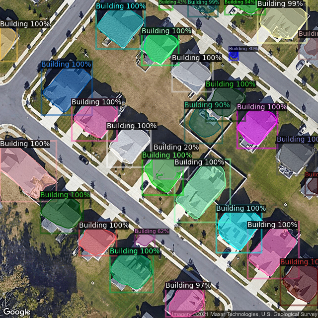
The first is a Semantic Segmentation Building Identification project, which allows you to search
for any location on Earth using the ubiquitous Google Maps JavaScript API, and send it to a
Google Cloud Platform Cloud-Run instance, where a custom-trained
Detectron2
CPU-model will attempt to locate any buildings in the image, and send it back to be displayed as
an overlay.
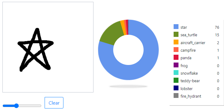
The second is a
Google Quick, Draw!
based interactive and comparative project. This project presents two separately trained models
using two different resolutions (28x28 pixels and 56x56 pixels) to attempt to identify your
drawing from one of 345 discrete classes of objects. It also shows a representation of
'what the model sees' by way of a visualizing the conversion performed of your
drawing before being sent to the model.


Satellite image Building Identification
Custom-dataset Detectron2 Mask R-CNN 101 layer backbone FPN model
Try it out! Details
Google Quick-Sketch Classification
Google Quick-Sketch 345 class custom-built CNN keras-built, tensorflow lite converted model
Try it out! Details